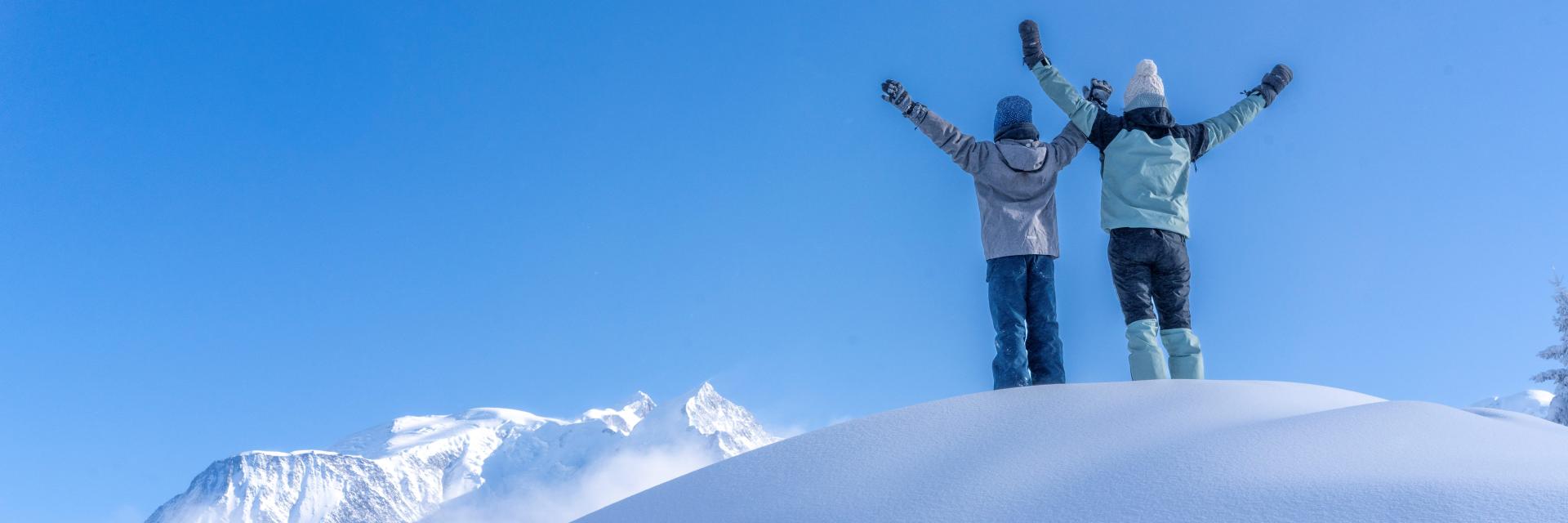
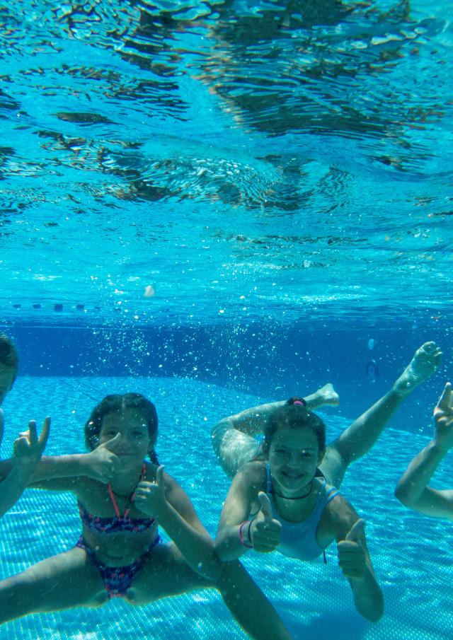
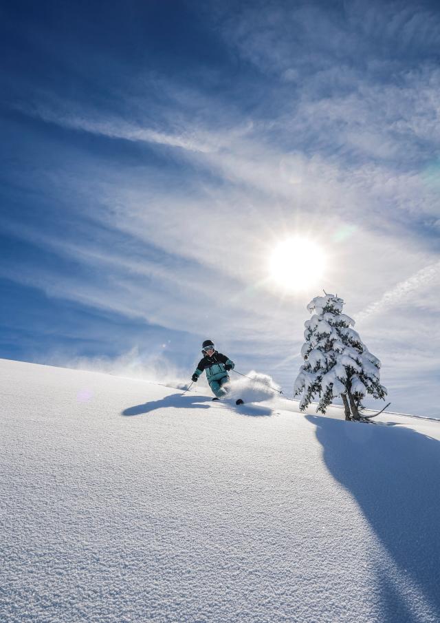
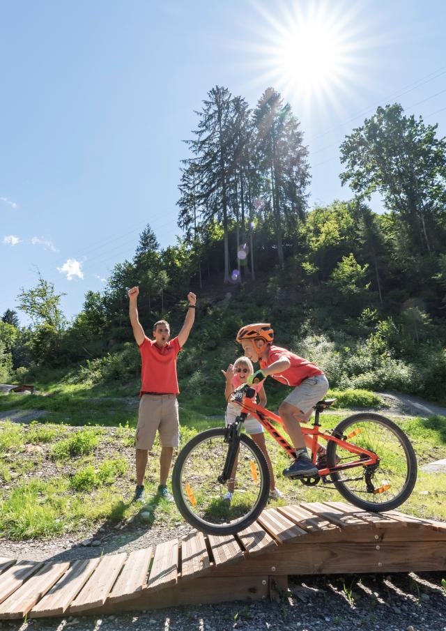
![](https://static.apidae-tourisme.com/filestore/objets-touristiques/images/95/29/21831007.jpg)
![](https://api.cloudly.space/resize/cropratio/1920/1440/75/aHR0cHM6Ly9zdGF0aWMuYXBpZGFlLXRvdXJpc21lLmNvbS9maWxlc3RvcmUvb2JqZXRzLXRvdXJpc3RpcXVlcy9pbWFnZXMvOTUvMjkvMjE4MzEwMDcuanBn/image.webp)
Marking on the left-hand side of the climb (milestones)
- Safety instructions sign at the start of the route
- Signpost at the end of the route Climb to the Mont Joly refuge
- Safety instructions sign at the start of the route
- Signpost at the end of the route Climb to the Mont Joly refuge
- Guidebook with maps/step-by-step1/ From Sommet TC12 Marked ascent route (left edge of track) 2/ Sommet Mt joux by scooter route Refuge du Mont Joly by Evasion - Col de christ - Blanchot 3/ End of route at refuge du Mont Joly.
Descent by the same route + chateluy -> chateluy junction if open.
Openings
Subject to snow conditions
Location
Contact Ski de randonnée avec la STBMA
Spoken languages