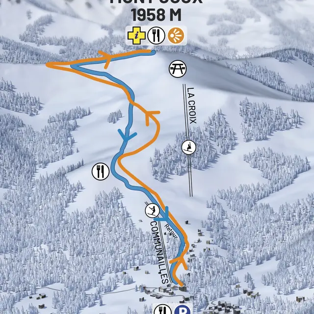
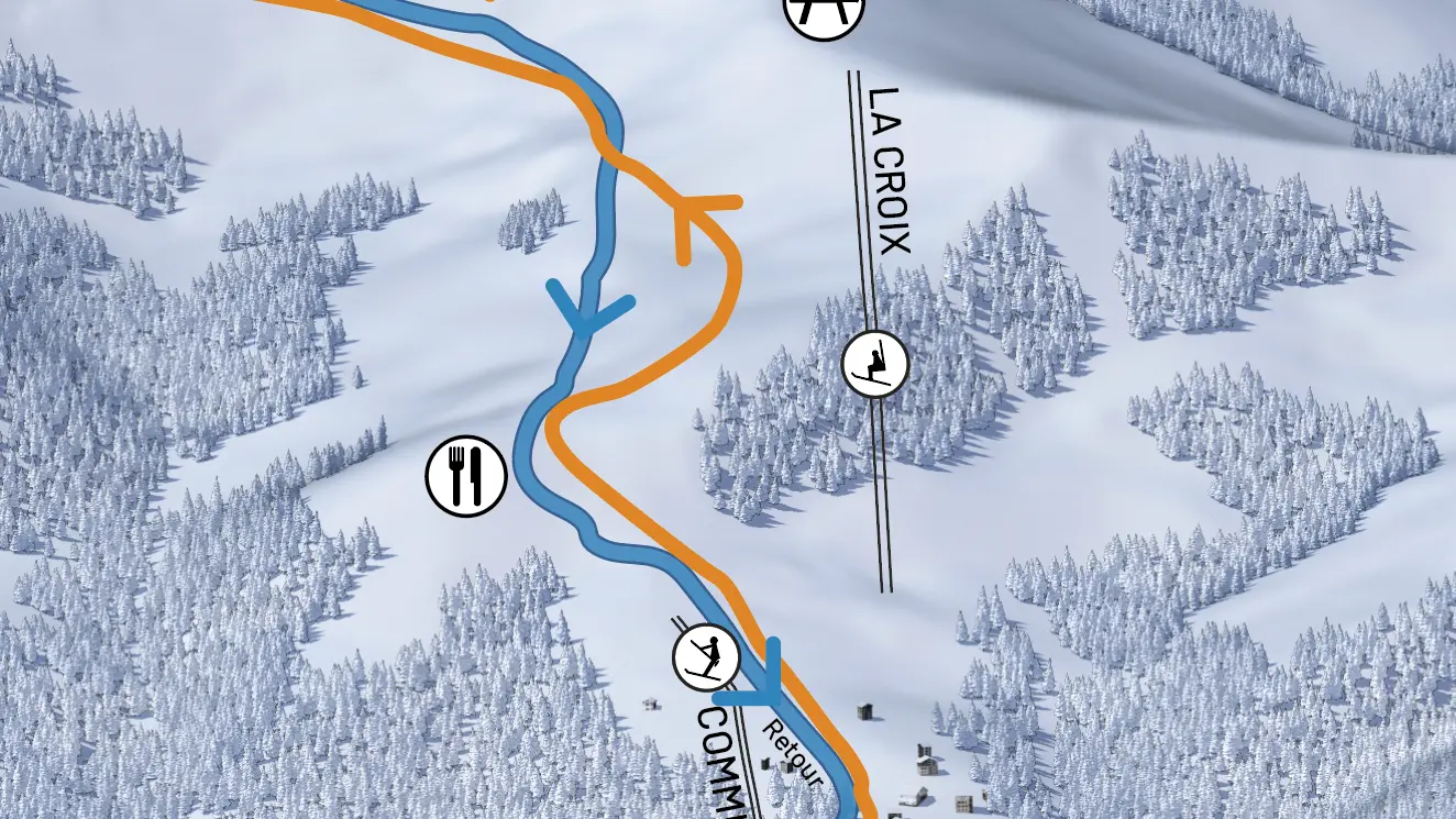
Guidebook with maps/step-by-step
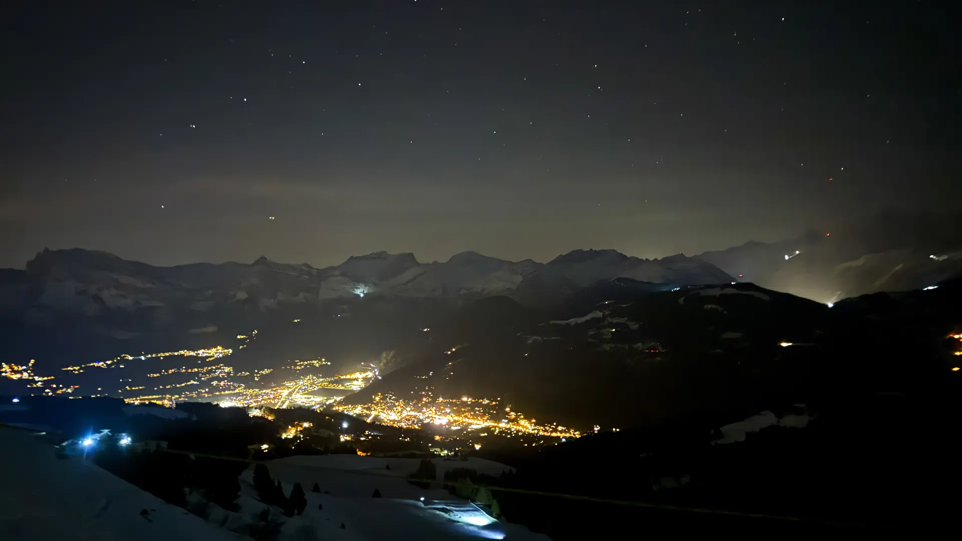
Departure: Communailles ski lift
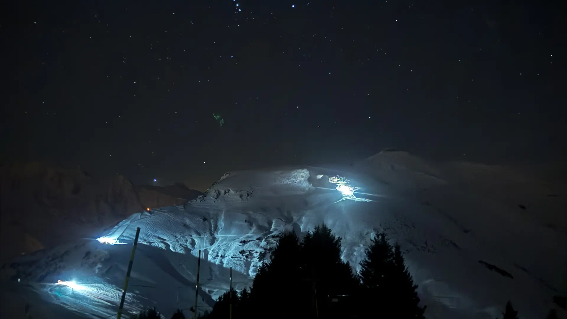
On the way up, follow the blue Orgères run.
Continue on this same run after passing the Communailles ski lift arrival point.
At the next intersection, turn left and leave the red Rolles run on your right.
Then, at the next intersection, below Mont Joux, continue your ascent on the blue Grand Montaz slope.
BE CAREFUL at this intersection! Do not follow the yellow ski markings on your right. This sign corresponds to the Les Communailles - La Croix chairlift daytime route. Continue on the Grand Montaz slope!
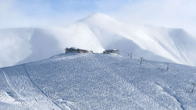
At the next intersection, turn right and follow the Evasion ski lift along the slope to the summit of Mont-Joux.
For the descent, take the same route as for the ascent.