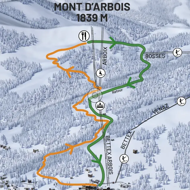
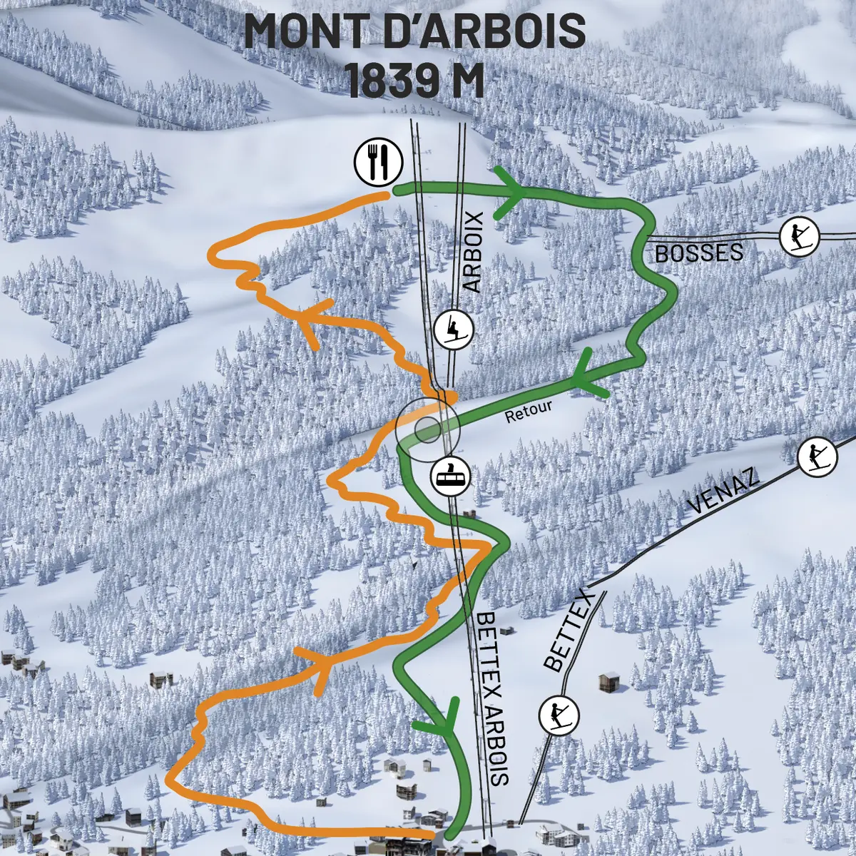
Guidebook with maps/step-by-step
Departure: Bettex snow front
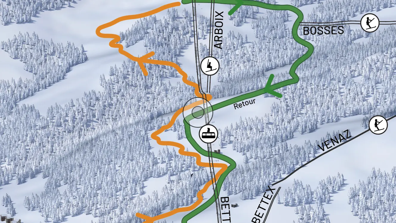
Take the cross-country ski trail on the left towards Les Communailles and pass in front of the ESF snow garden.
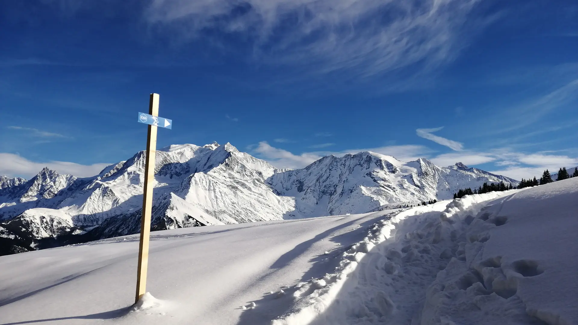
The route quickly leaves the
groomed trail to climb to the right into the Crêt Mortet forest until you find yourself below the Chateluy green trail, which you will descend.
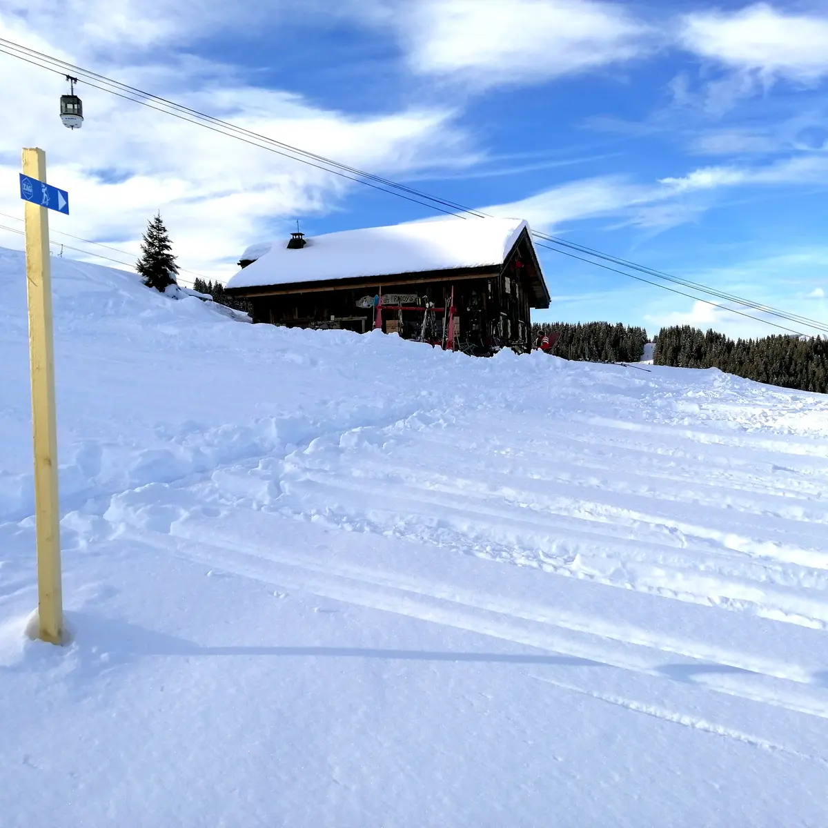
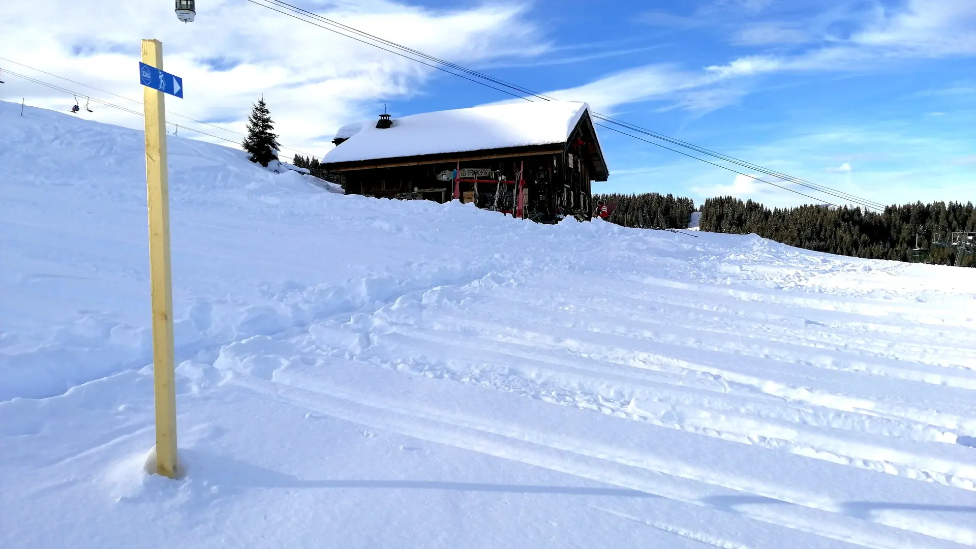
Carefully follow the Michel Dujon black run on its left-hand side, then enter the forest and you will quickly reach a clearing that leads to the magnificent Sous les Freddys mountain pasture and its traditional chalet.
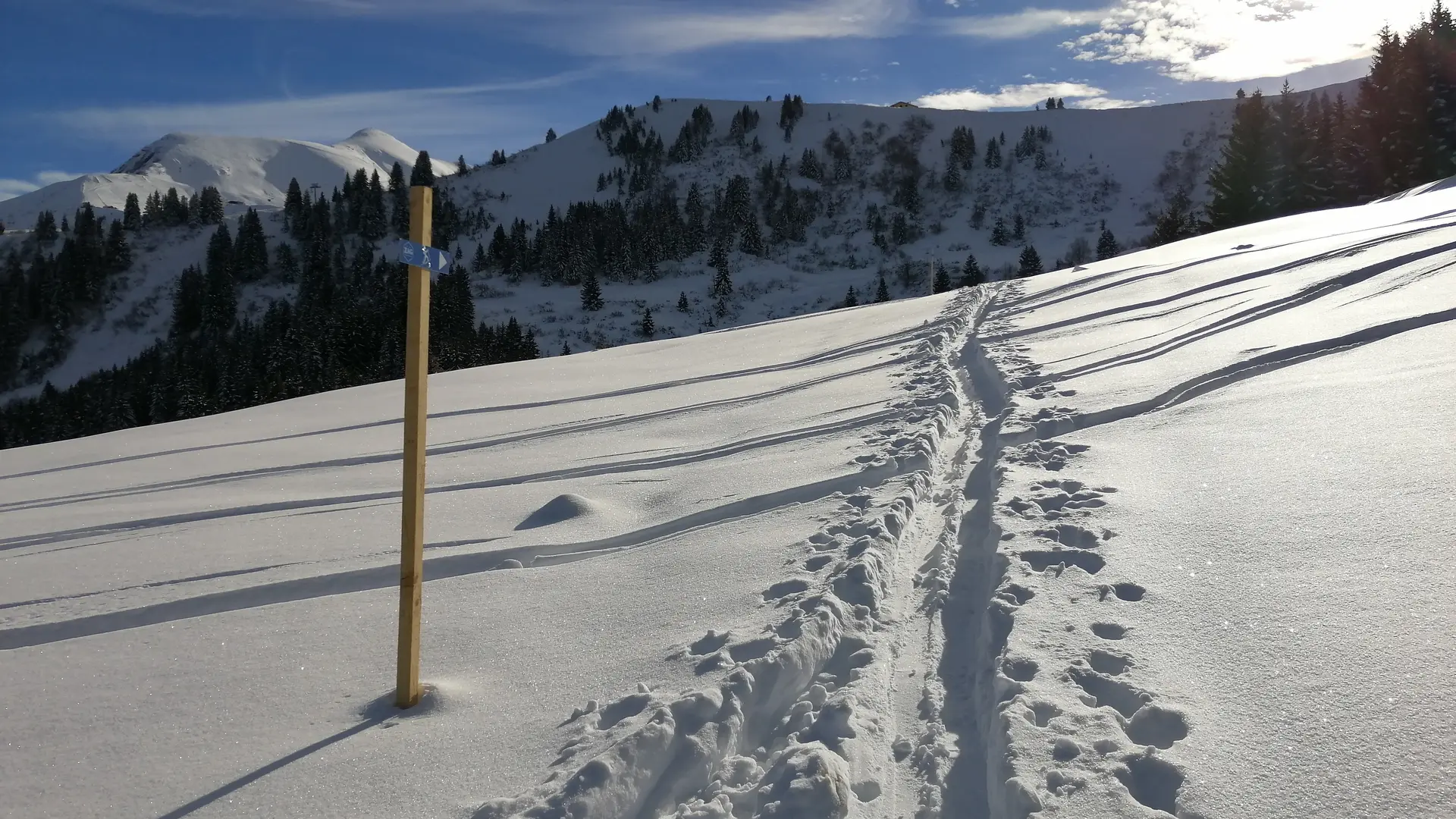
Descent: Be careful to take the right track on the descent, otherwise you will find yourself climbing back up again.
From the Sous les Freddys chalet, turn right, looking at the top of the cable car 100 metres above you. Cross the Michel Dujon black run (do not descend it) to reach the Chateluy green run a few metres further on.
Return to the Bettex snow front.