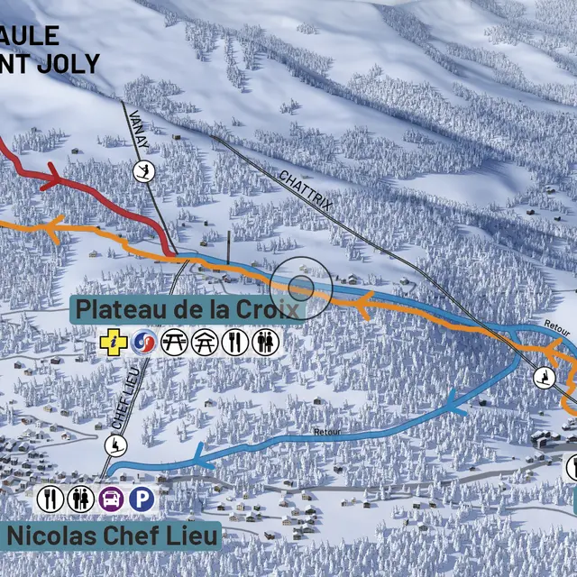
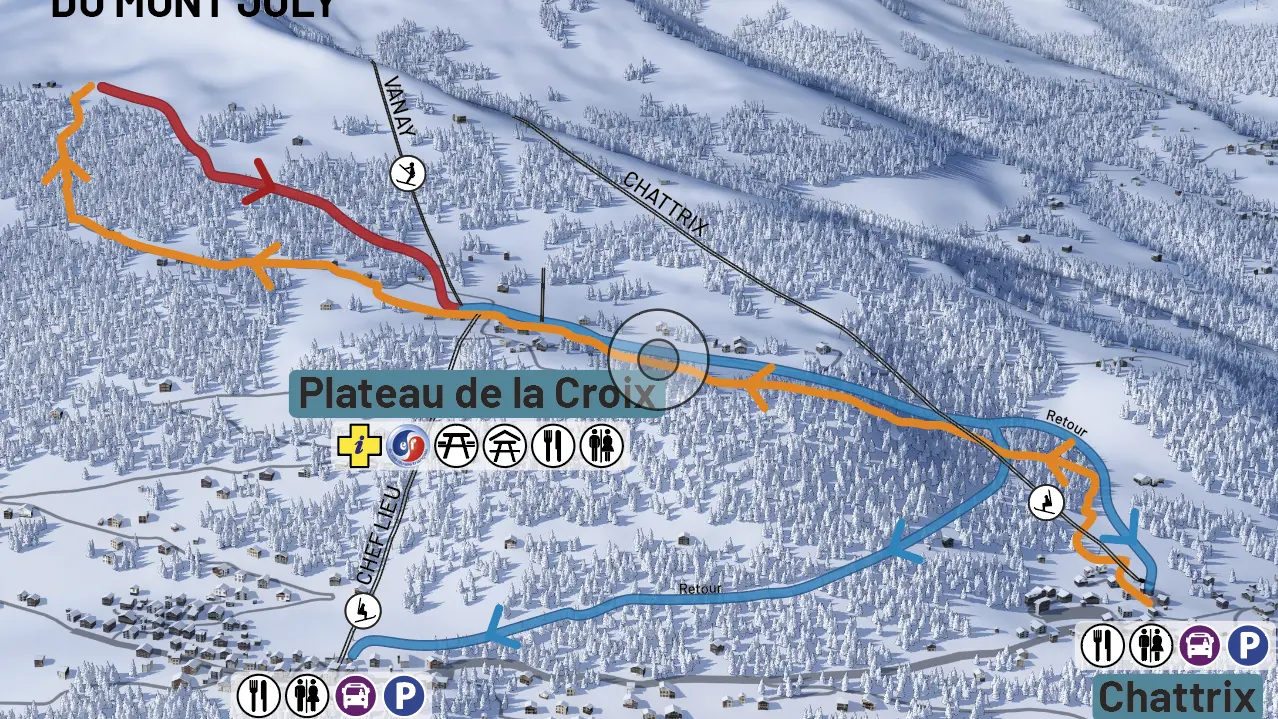
RESPONSIBILITIES
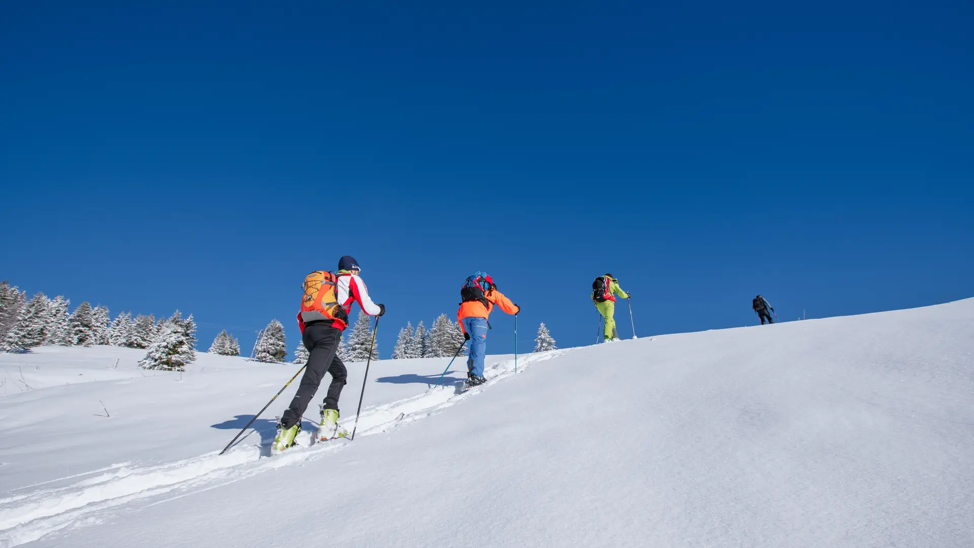
These ascent routes are not ski slopes. They are neither monitored nor protected by the ski patrol. Users of these routes do so at their own risk and must check weather and snow conditions, as well as avalanche risk. Descents via marked slopes must be made during the ski area's opening hours. After the slopes have closed and when the ski area is closed, pedestrians, hikers and skiers are prohibited from entering the area, in accordance with the municipal decree on slope safety (ARR2018_041 SECU).
Be sure to take out insurance: when using marked ski slopes in a downhill direction, ski tourers are considered to be skiers on the slopes. They must ensure that they are covered by insurance that covers all forms of skiing.
SAFETY
Before setting off, check the weather conditions and whether the ski area is open.
- The ski area may be closed for preventive avalanche control operations: PIDA
- Snow grooming machines may be in operation when the slopes are closed and can pose a serious danger in the event of a collision.
- Calculate your ascent time carefully so that you can reach your destination before the slopes close.
- If you are travelling alone, inform someone close to you of your itinerary.
- In case of emergency, dial 112.