Aller au contenu principal
en
Living
in Saint-Gervais
Stay
in Saint-Gervais
Menu
Saint-Gervais Mont-Blanc
My inspiration
Year-long
Enjoy nature all year round
Cultural life
Top 5 places to have a drink
Discover an exceptional swimming pool
The Mont-Blanc
Focus on...
Screenshot 20211025 095014 Gallery
©
Screenshot 20211025 095014 Gallery
Discover the spa
Boris Molinier Photo Workshop Lou Broche 18
©
Boris Molinier Photo Workshop Lou Broche 18
Mont-Blanc tramway
The best hiking routes
Major events
I want to
Stores and services
Cultural activities
Outdoor and sports activities
Wellness activities
ATV, Fat-Bike & All-terrain scooter
Going out in Saint-Gervais
Eat or drink
Sleep
Activities
I’d like to know more
Plus d'infos pratiques
Coming to Saint-Gervais
Contact us
Virtual tours
Station info
FAQ
The Tourist Office
Webcams
Getting around Saint-Gervais
Plans and brochures
Book my stay
Booking
Mobility
Live info
Virtual tours
Stay
My inspiration
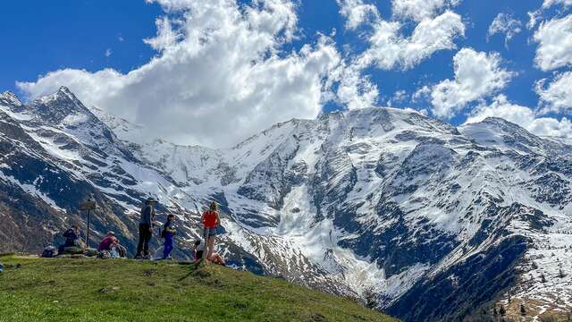
Hiking in all its forms, in all seasons
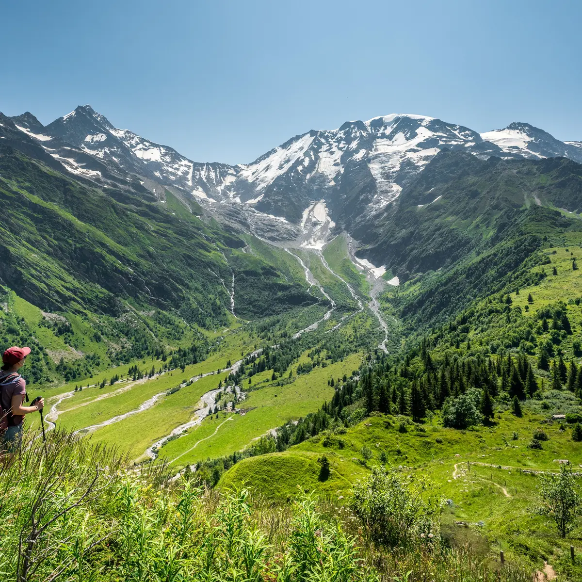
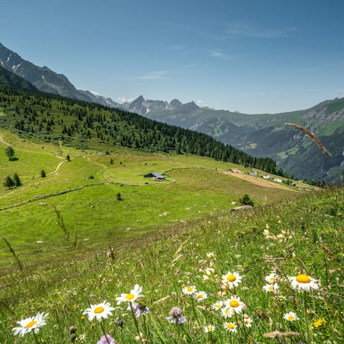
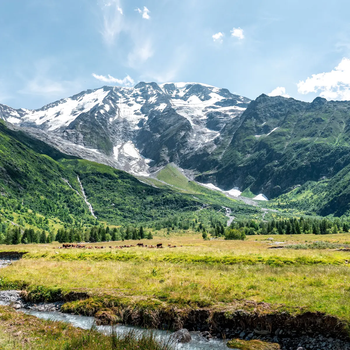
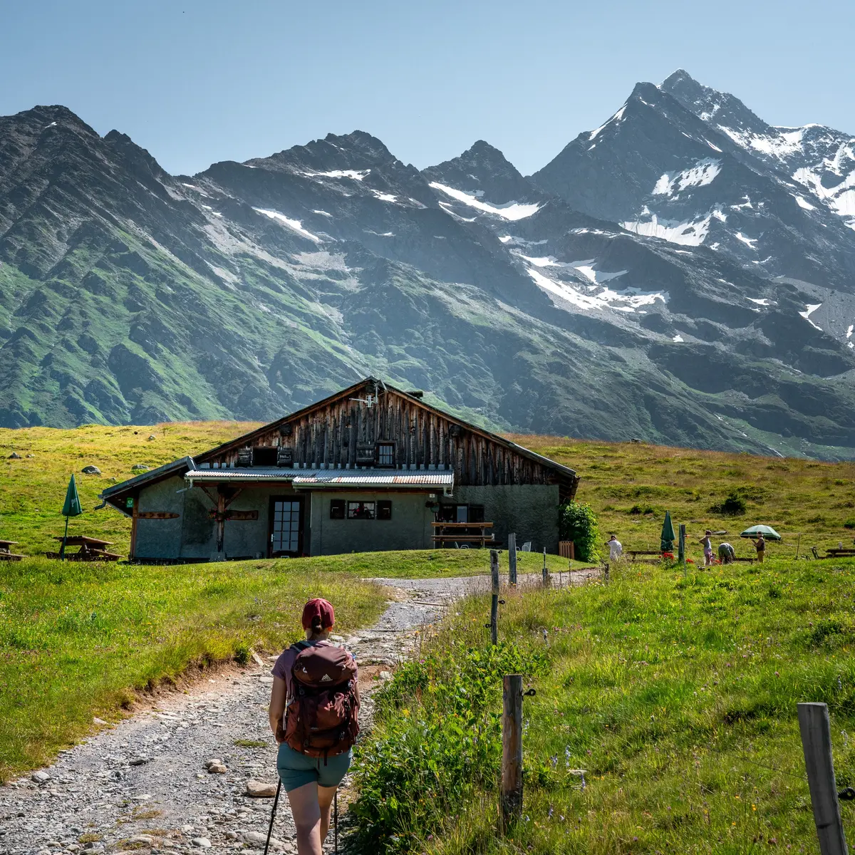
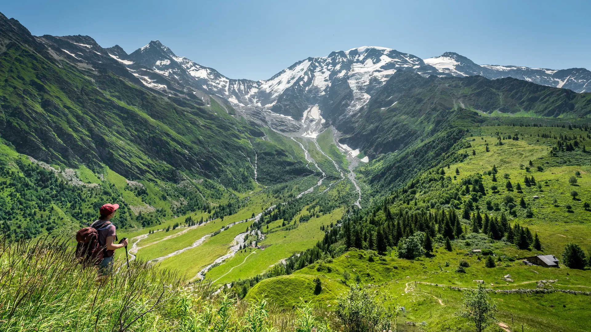
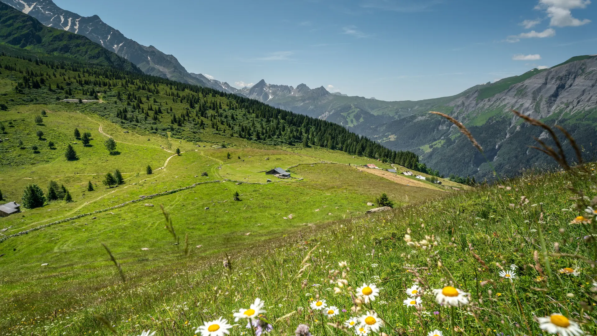
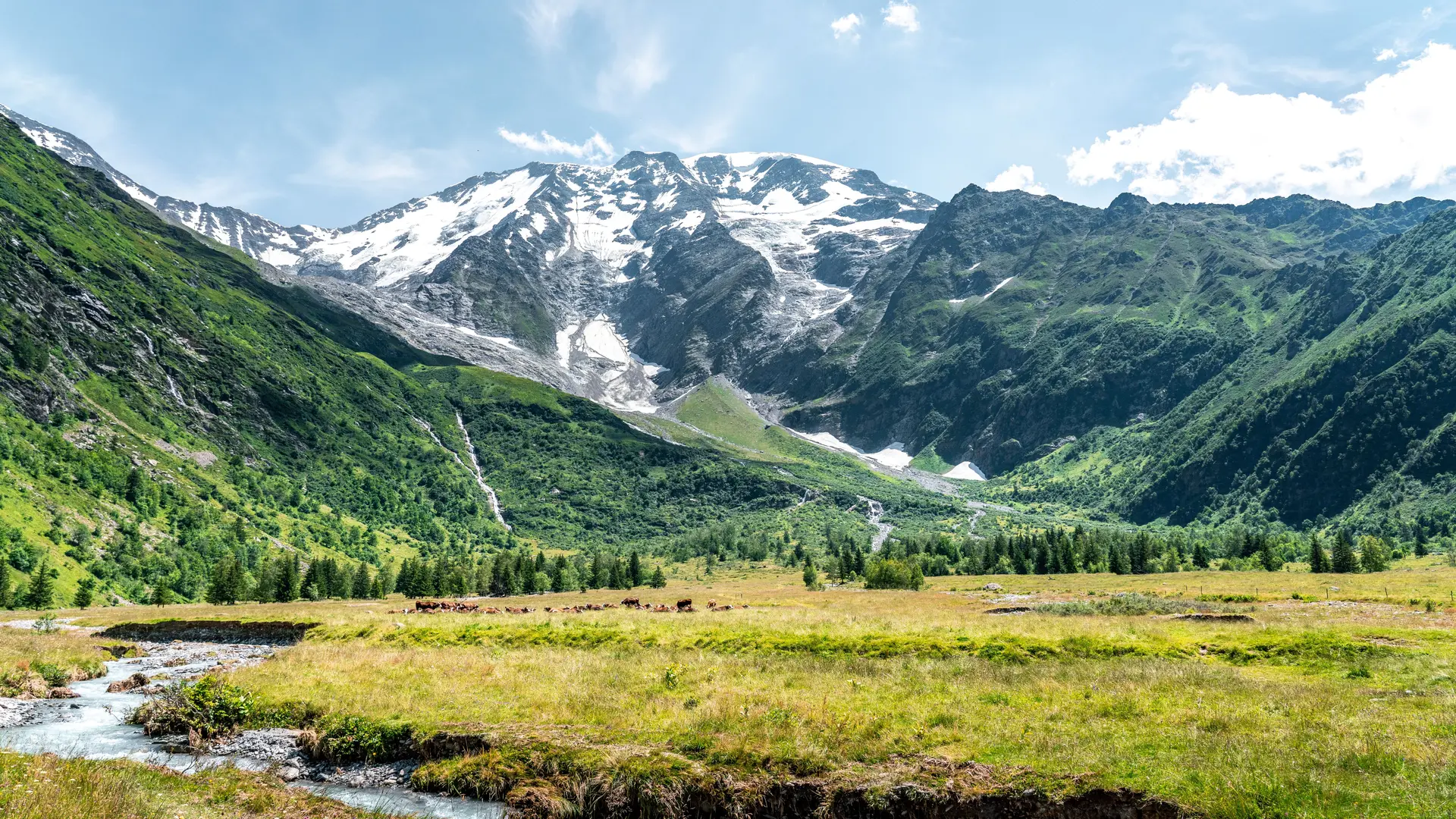
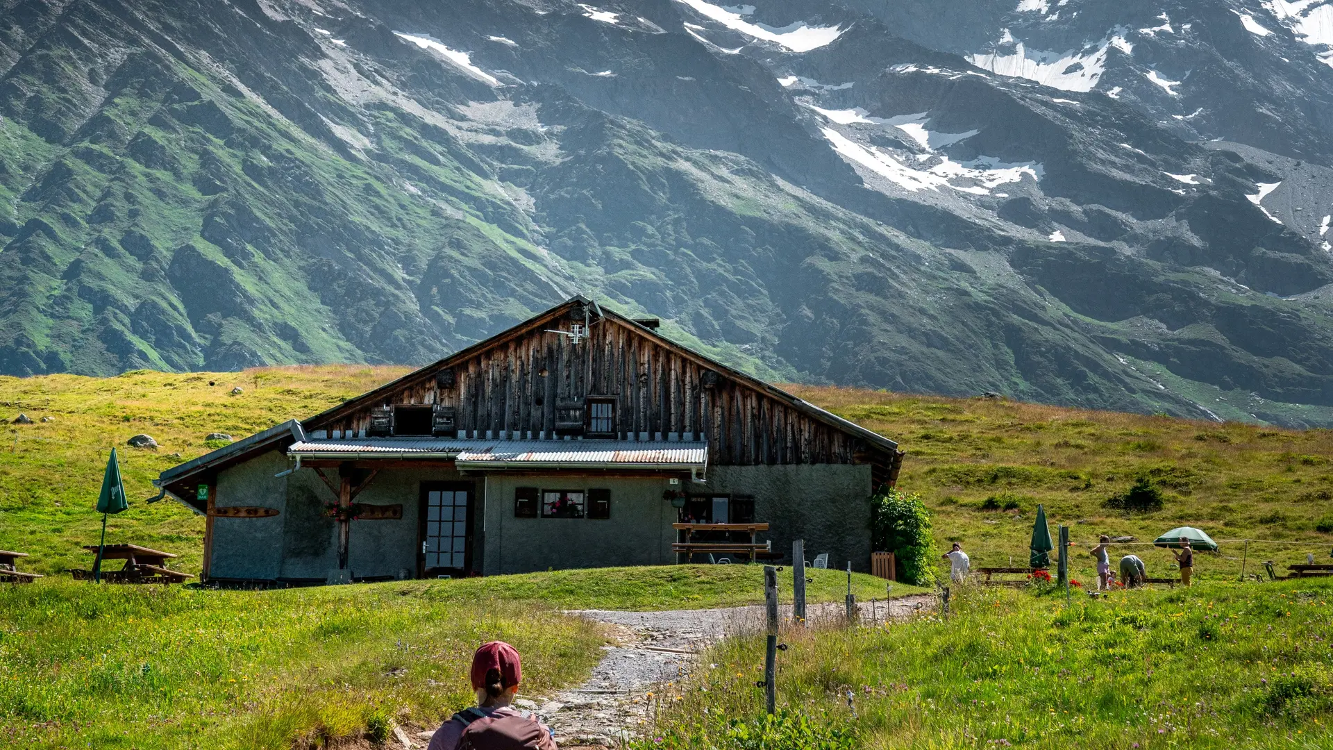
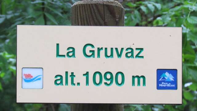
La Gruvaz - Le Truc - Alpage de Miage
La Gruvaz - Le Truc - Alpage de Miage
Sport
Pedestrian sports
Hiking itinerary
Elevation : 1110m
74170 Saint-Gervais-les-Bains
Getting there
×
Open the itinerary in
Google Maps
Apple Plans
Waze
Mappy
I'm going by train!
×
Please note that the nearest station is more than
Share
×
Share this sheet
La Gruvaz - Le Truc - Alpage de Miage
E-mail
WhatsApp
Facebook
X
LinkedIn
Pinterest
©
Michael Lafrasse
©
Michael Lafrasse
©
Michael Lafrasse
©
Michael Lafrasse
×
©
Michael Lafrasse
©
Michael Lafrasse
©
Michael Lafrasse
©
Michael Lafrasse
Plain text period
From 01/05 to 31/10.
Subject to favorable snow and weather conditions.
Services
Public WC
Pets welcome
Environment
Mountain location
Close to a public transportation
Gorges de la Gruvaz
A pleasant one-hour visit during which with luck you will admire chamois and marmots. Alt. 950m / 1000m
Saint-Gervais-les-Bains
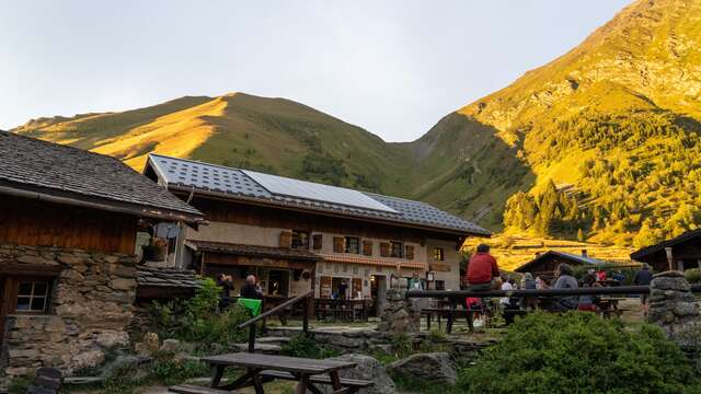
Refuge de Miage
Olivier, Celine and their team welcome you every day in season for light meals and accommodation in rooms or dormitories. The Refuge de Miage is located along the famous ‘Tour...
Saint-Gervais-les-Bains
Le Mont Truc
Saint-Gervais-les-Bains
Gorges de la Gruvaz
A pleasant one-hour visit during which with luck you will admire chamois and marmots. Alt. 950m / 1000m
Saint-Gervais-les-Bains
Close
Popular searches
{% label %}
Filter search
Page types
All
Articles
Agenda
Lists
Aucun résultat
/
English
Français
Italiano
Close
×