Aller au contenu principal
en
Living
in Saint-Gervais
Stay
in Saint-Gervais
Menu
Saint-Gervais Mont-Blanc
My inspiration
Year-long
Enjoy nature all year round
Cultural life
Top 5 places to have a drink
Discover an exceptional swimming pool
The Mont-Blanc
Focus on...
Screenshot 20211025 095014 Gallery
©
Screenshot 20211025 095014 Gallery
Discover the spa
Boris Molinier Photo Workshop Lou Broche 18
©
Boris Molinier Photo Workshop Lou Broche 18
Mont-Blanc tramway
The best hiking routes
Major events
I want to
Stores and services
Cultural activities
Outdoor and sports activities
Wellness activities
ATV, Fat-Bike & All-terrain scooter
Going out in Saint-Gervais
Eat or drink
Sleep
Activities
I’d like to know more
Plus d'infos pratiques
Coming to Saint-Gervais
Contact us
Virtual tours
Station info
FAQ
The Tourist Office
Webcams
Getting around Saint-Gervais
Plans and brochures
Book my stay
Booking
Mobility
Live info
Virtual tours
Stay
My inspiration
Hiking in all its forms, in all seasons
Mont Joly from Le Bettex
Mont Joly from Le Bettex
Sport
Pedestrian sports
Hiking itinerary
Le Bettex, 74170 Saint-Gervais-les-Bains
Getting there
×
Open the itinerary in
Google Maps
Apple Plans
Waze
Mappy
I'm going by train!
×
Please note that the nearest station is more than
Share
×
Share this sheet
Mont Joly from Le Bettex
E-mail
WhatsApp
Facebook
X
LinkedIn
Pinterest
©
Boris Moliner
©
Boris Moliner
©
Boris Moliner
©
Boris Moliner
×
©
Boris Moliner
©
Boris Moliner
©
Boris Moliner
©
Boris Moliner
Description
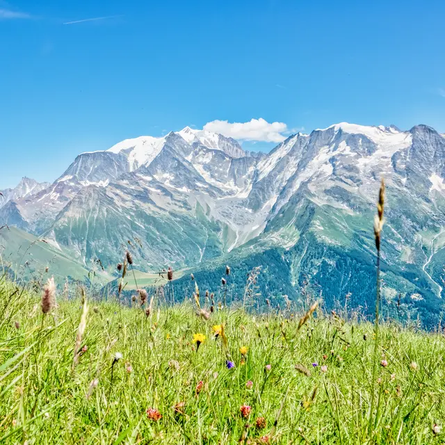
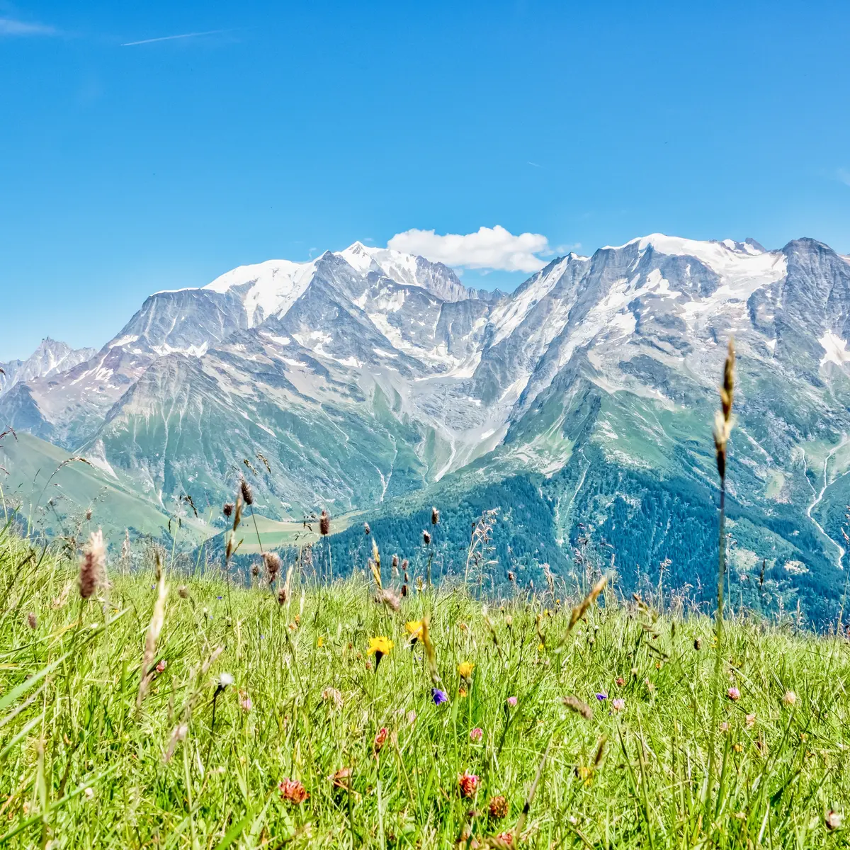
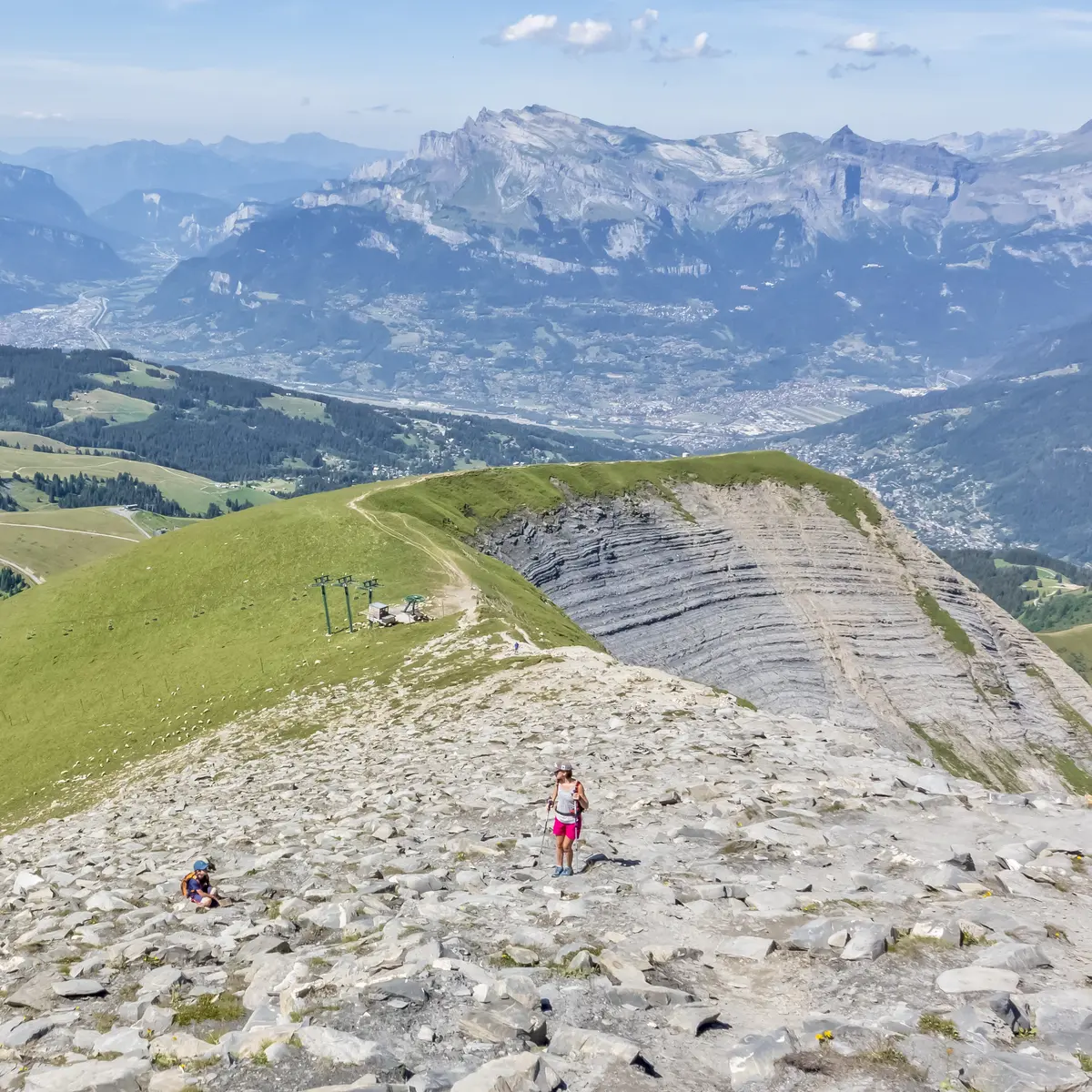
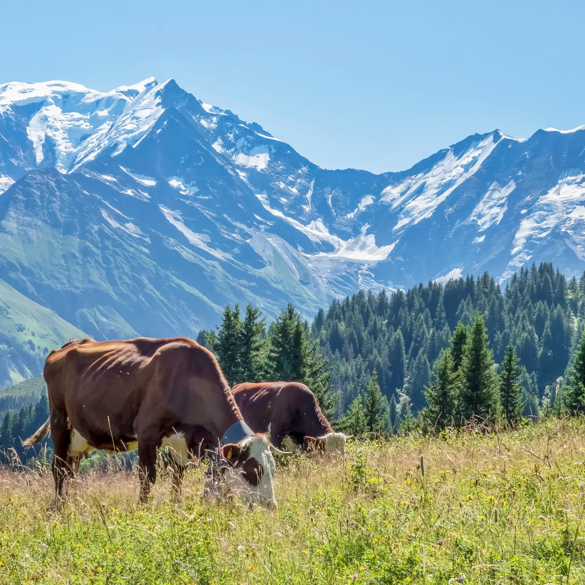
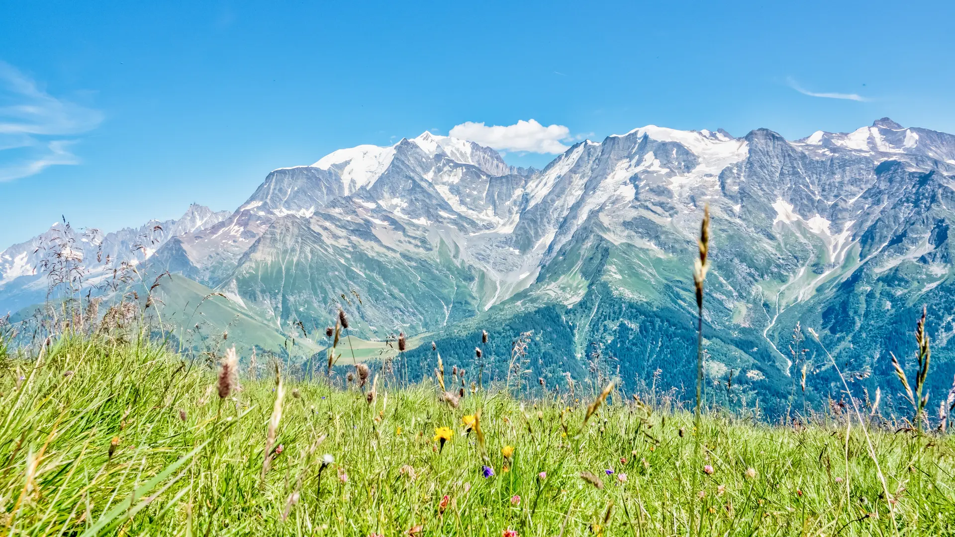
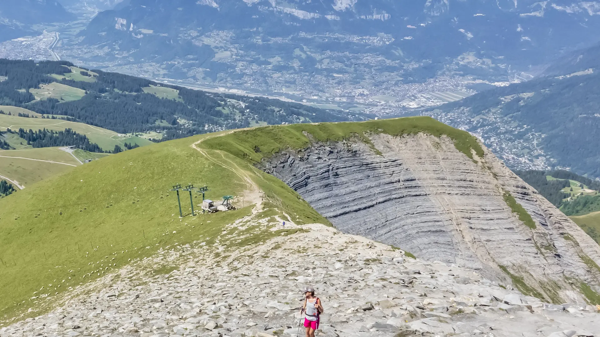
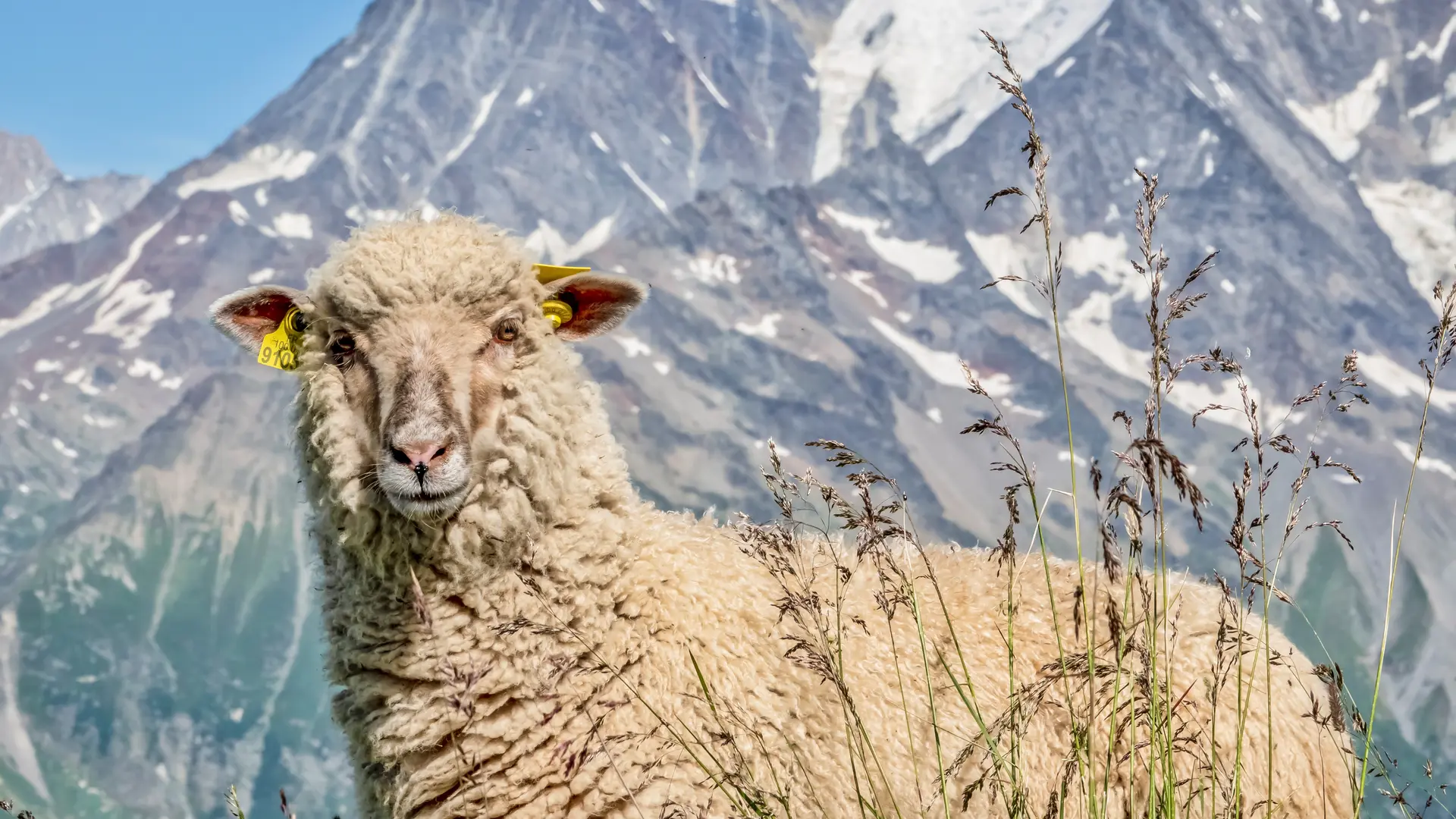
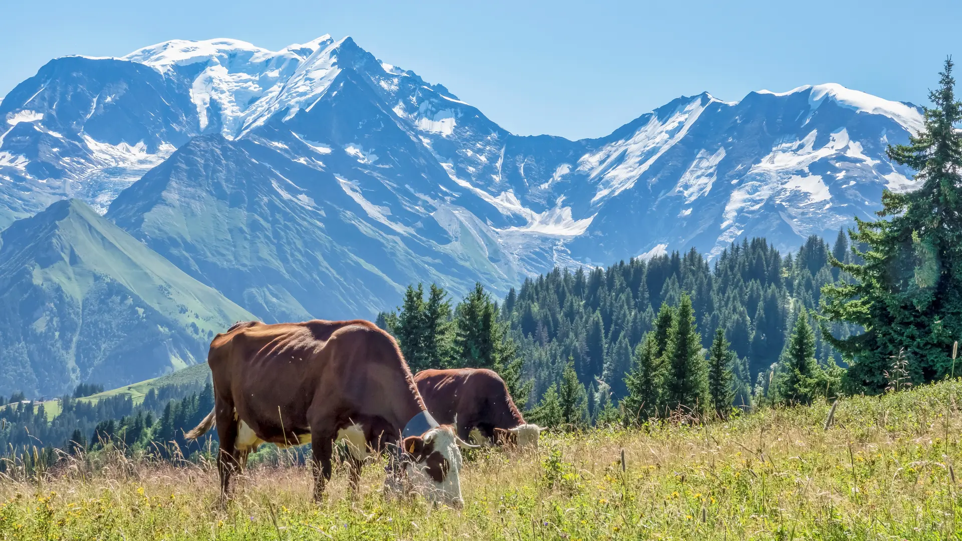
Climb through alpine pastures and meadows. Mont Joly, from a height of 2525m above sea level, offers a 360 ° view of Mont-Blanc, Beaufortain, the Aravis, Fiz. The viewpoint guide allows you to easily find your way to the top.
Plain text period
From 15/06 to 16/10.
Subject to favorable weather.
Services
Public WC
Car park
Orientation board
Pets welcome
Accessible via ski lift
Environment
Mountain location
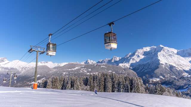
Gondola - Bettex/Mont d'Arbois
Saint-Gervais-les-Bains
Gondola l'Alpin - Saint-Gervais/Le Bettex
The Alpin gondola lift takes you up to the Plateau du Bettex at an altitude of 1450 metres. Up there, in summer and winter alike, you can enjoy breathtaking panoramic views of...
Saint-Gervais-les-Bains
Close
Popular searches
{% label %}
Filter search
Page types
All
Articles
Agenda
Lists
Aucun résultat
/
English
Français
Italiano
Close
×