Guidebook with maps/step-by-step
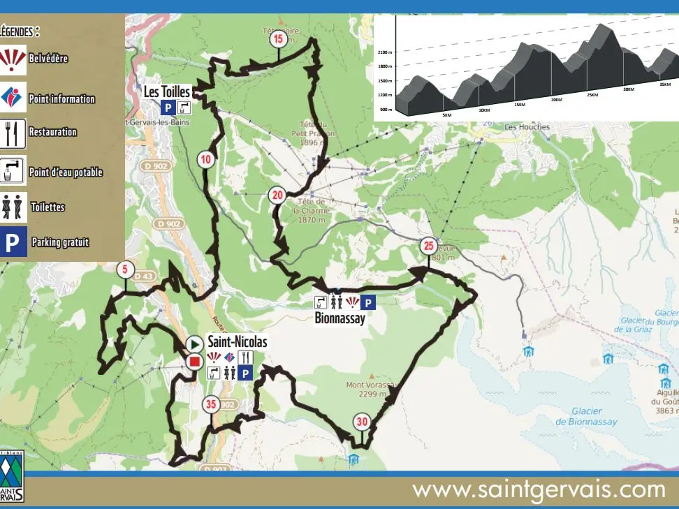
Directions:
From Saint-Nicolas, take the path opposite the church next to the salle
salle communale. This path takes you as far as Les Trombères, passing through the
Plateau de la Croix and Les Plans. Then climb back up through Montivon and les Toilles to Prarion. Then head for Miage via Bionnassay and the Col de Tricot, before descending to Tresse and climbing back up to Le Planay to return to your starting point.