Mountain Bike Route No. 4 – La Valléenne

  • Sport
  • Cycling sports
  • Mountain biking itinerary
Elevation : 1430m
4383 route du Bettex, 74170 Saint-Gervais-les-Bains

Description

Set off on the Valléenne, a mountain bike trail reserved for experienced riders. Starting from Le Bettex and passing through the Monts Rosset, the route takes you downhill before reaching the Parc Thermal, 700 metres below.
Natural drops, man-made jumps, a succession of banked and hairpin bends, and fast sections follow one after another against a spectacular mountain backdrop. The terrain alternates between woodland, clearings and dirt tracks, offering an experience that is both fluid and challenging. Classified as red and reserved for experienced cyclists, this route consists mainly of sections shared with pedestrians and farmers. Vigilance is therefore essential throughout the ride. Please also be mindful when passing near residential areas, so as to respect the peace and quiet of local residents. Designer: Bartas Architecture Contractor: RGTP Wearing a helmet and protective gear is strongly recommended; a mountain bike suitable for downhill riding with an appropriate braking system is required. A mountain biking guide is available from all bike hire companies in the valley as well as at the Tourist Information Offices.

Medias

découvrez la piste vtt la valléenne
Missing video caption
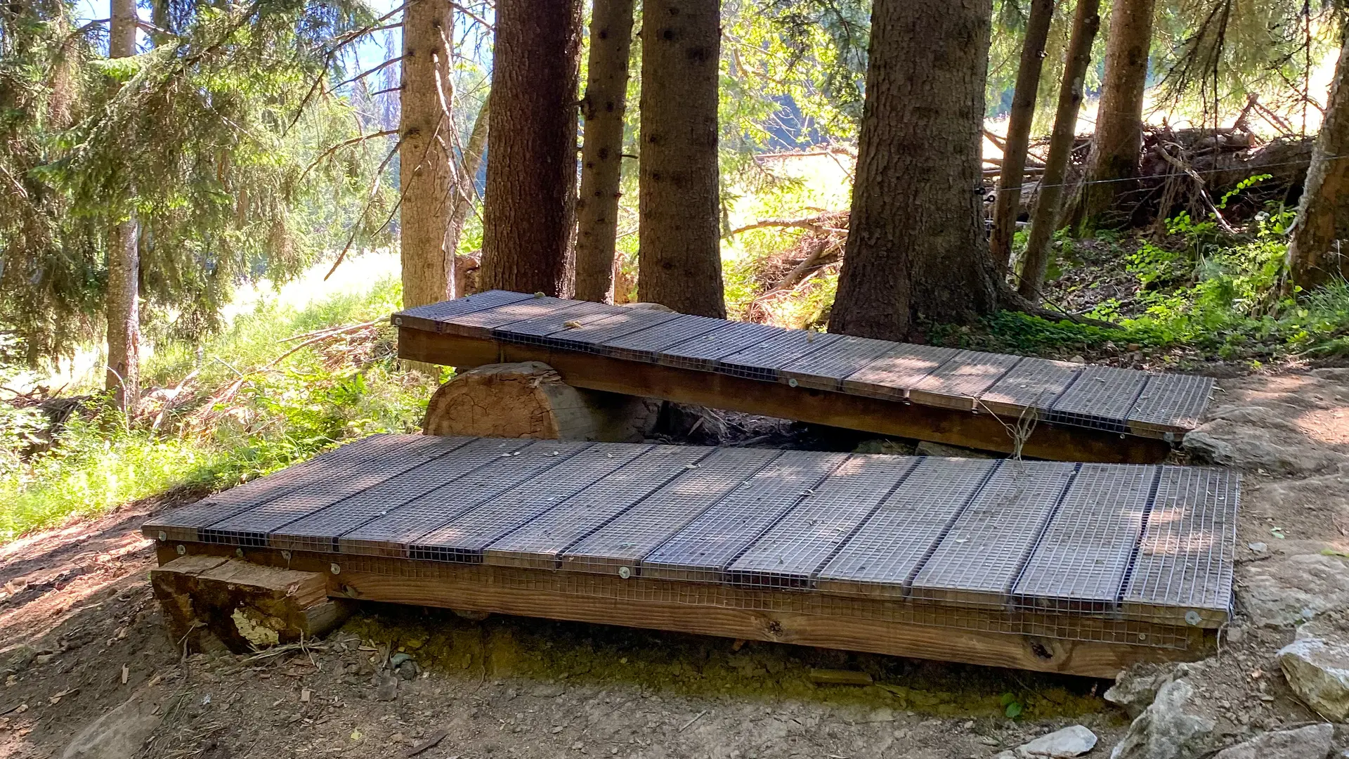
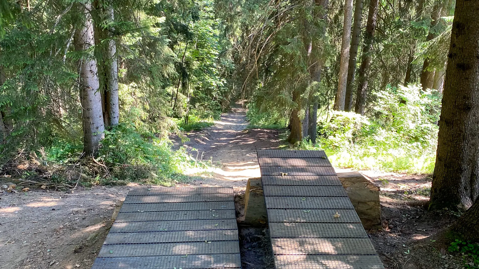
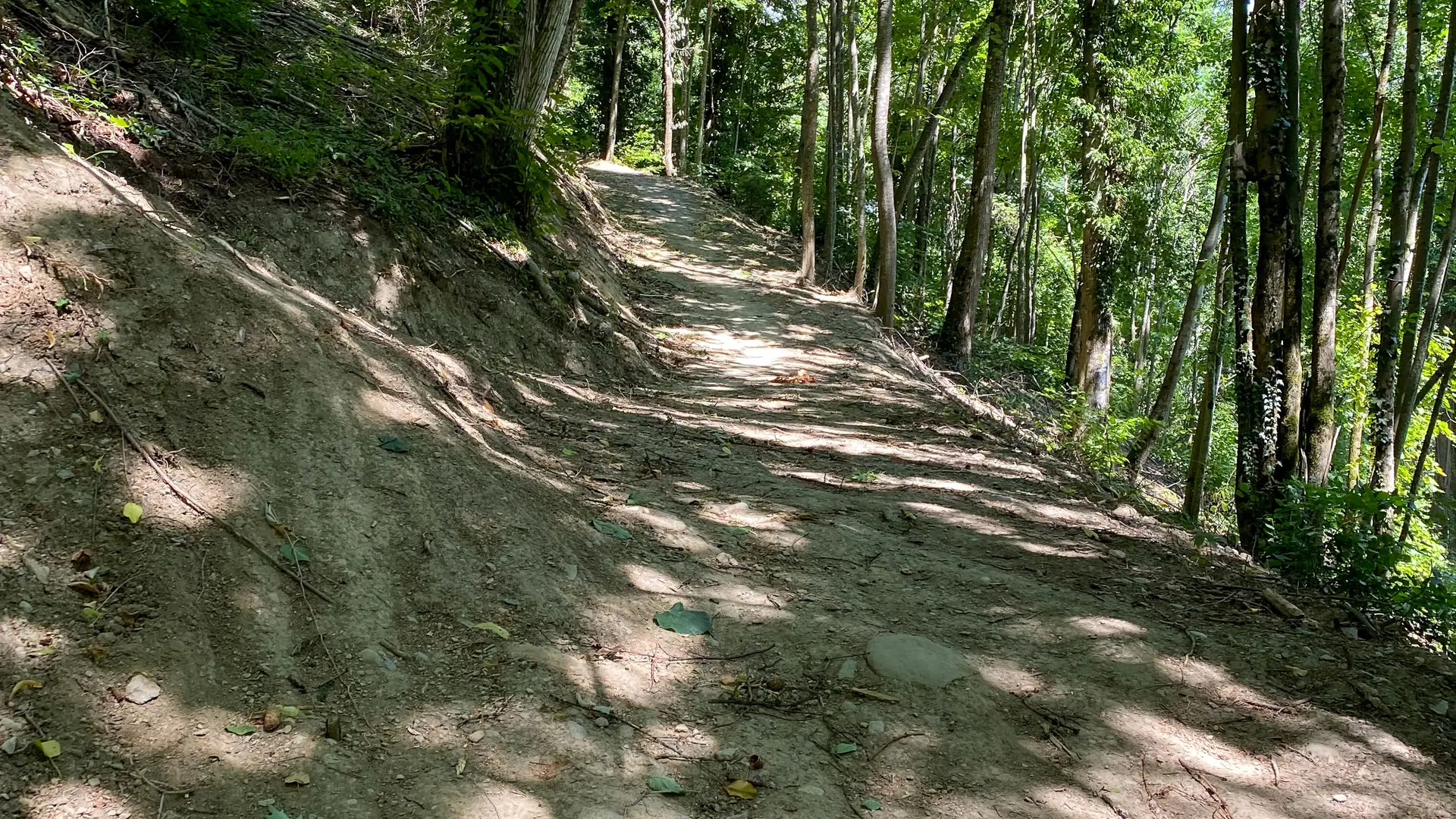
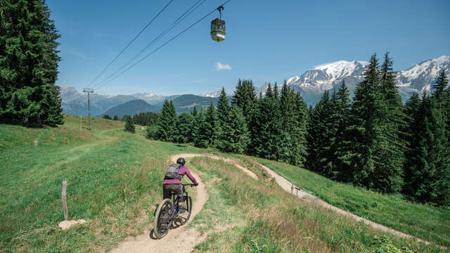
  • Guidebook with maps/step-by-step
    Starting point: Le Bettex

    Take the multi-purpose track towards the Monts Rosset d'en Haut.

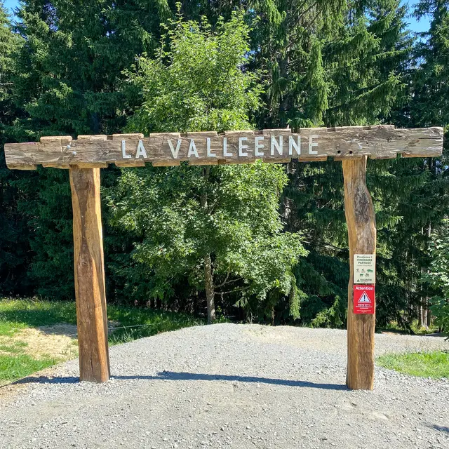
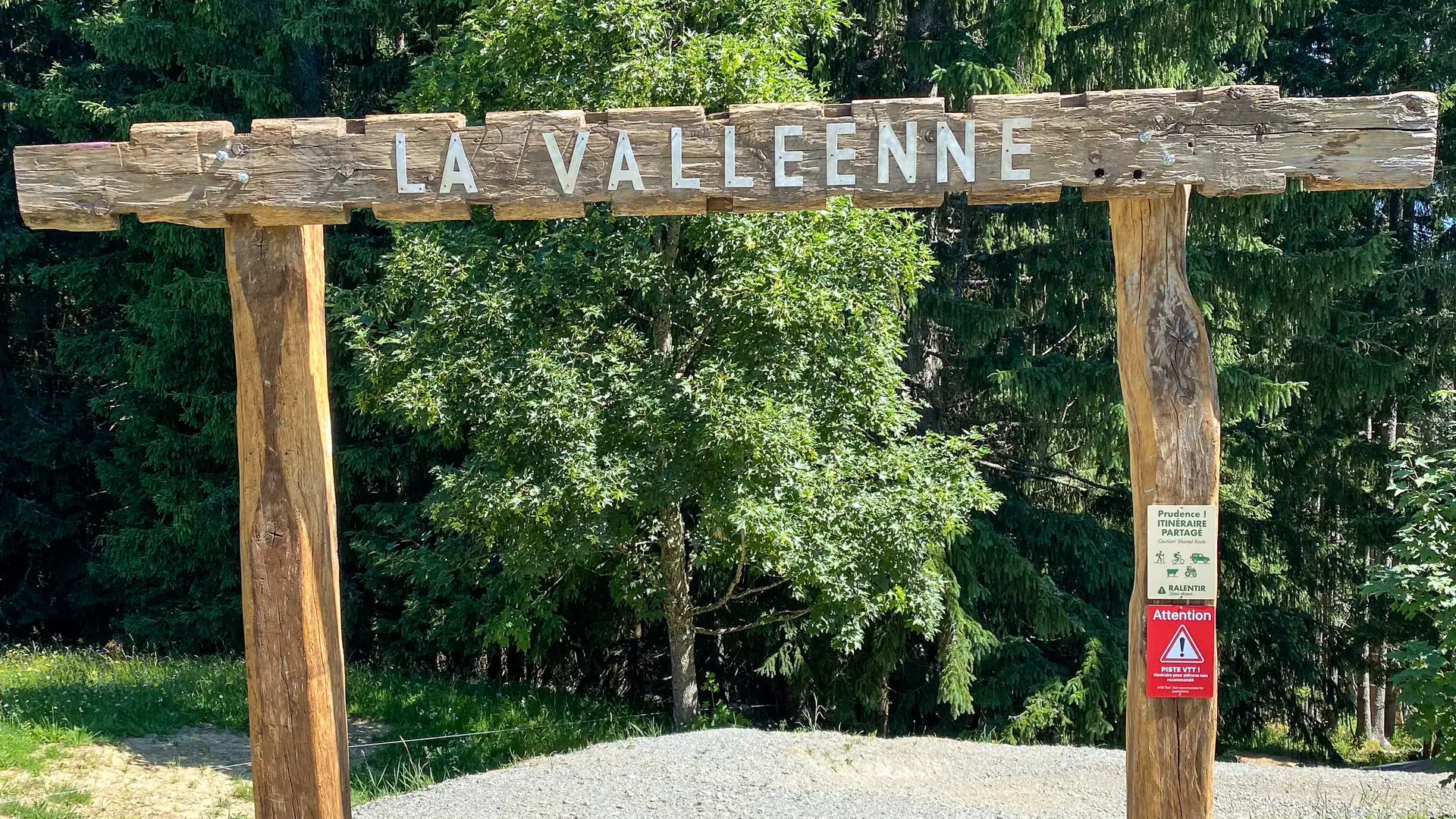
    After 800 metres, turn right and take the Valléenne track.

    Follow the track towards Freney d'en Haut.

    At Freney d'en Haut, take the path above the Route de Saint-Gervais, then follow the Chemin du Giroux.

    At the junction with the Route des Ponthieux, turn right then left onto the Chemin de Pétrizon.

    At the junction with the Route des Morets, head towards the Route d’Orsin.

    Turn left onto the Route d’Orsin towards Robinson, then turn right onto the Route de Megève.

    200 metres further on, turn left towards the Route des Amerands, then take the first path on the right.

    Head downhill towards Fontaine Froide.

    At Fontaine Froide, turn right then left downhill towards the Parc Thermal.

    The finish line is on the left bank of the Bonnant, at the footbridge in the Parc Thermal.

Services

Parking nearby
Picnic area
Bicycle washing point
Accessible via ski lift
Bike inflation

From 29/04 to 01/10 daily.
Please note: The entire route is closed during winter.

Subject to favorable weather.

Environment

  • Mountain view
  • Mountain location
Updated on 10 June 2026 at 13:47
by Office de Tourisme de Saint-Gervais Mont-Blanc
(Offer identifier : 7439912)
Report mistake
Filter search
Page types
  • All
  • Articles
  • Agenda
  • Lists