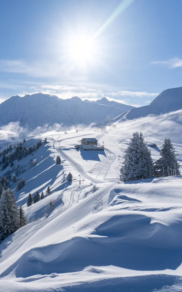
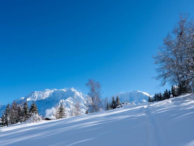


The best snowshoeing itineraries
In winter, when snow covers the mountains, Saint-Gervais Mont-Blanc becomes a veritable playground for snowshoe enthusiasts. Roam through snow-covered forests, explore unspoilt valleys and feel the magical sensation of fresh snow beneath your feet. Our snowshoeing itineraries take you to remote places where nature reigns supreme.
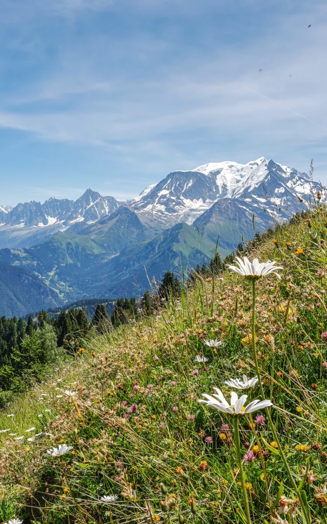
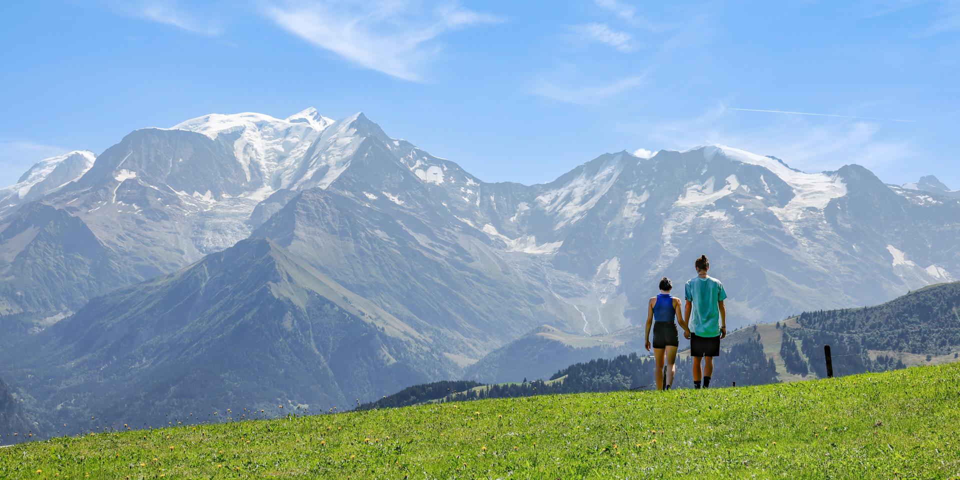
The Best Hiking Itineraries
From spring to autumn, hiking trails are revealed in all their splendor. Cross flower-filled meadows, climb to breathtaking panoramic viewpoints and discover the local flora and fauna. Whether you’re a novice or a seasoned hiker, Saint-Gervais Mont-Blanc has the perfect itinerary for you.
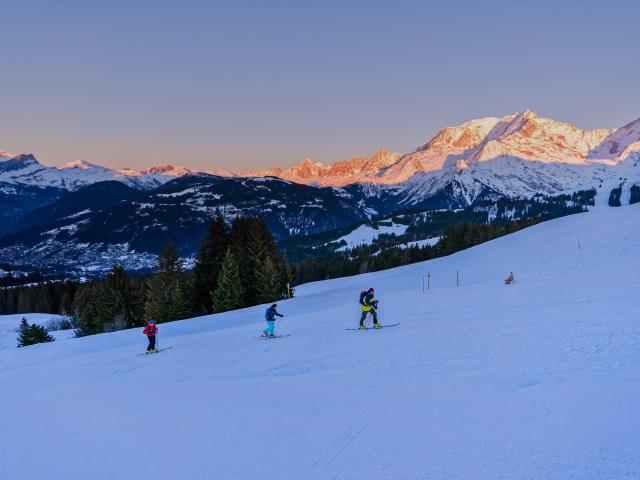
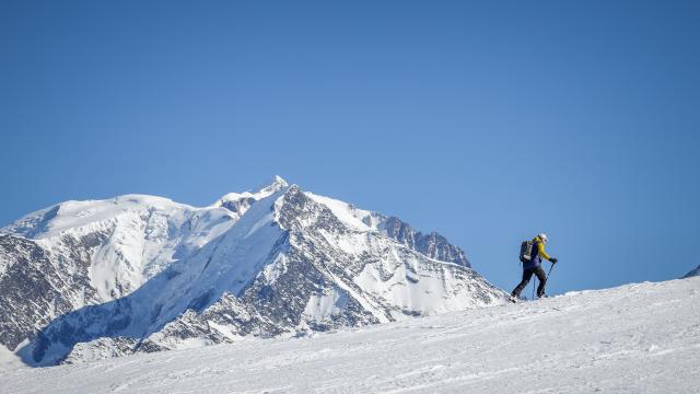
Best Ski Touring Outings
Ski touring enthusiasts will find an exceptional playground here. Explore the immaculate slopes and feel the mountain like never before. Our itineraries take you to remote peaks, offering unforgettable powder runs.
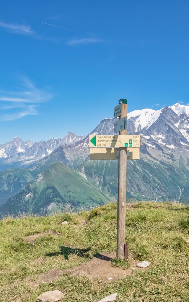
The Best Summits to Climb
Dreaming of conquering alpine peaks? Our itineraries will guide you to picturesque peaks and offer breathtaking views of the French Alps. It’s an experience that will make you feel alive like never before.